Tuesday, September 30, 2014

Benjamin Field Study

This past Wednesday, our field trip was a 'tour' of the tribal allotment to Benjamin.  Our first stop was right in the moshav’s backyard.  Benj talked about Kiriath-Jearim, which is a border city between the tribes of Benjamin and Judah.  We had already been there and talked about it, but it's still neat to think about all the biblical history that is so close to us!
            We then got on the bus and went to one of the nine proposed locations for the city of Emmaus.  This location, Emmaus-Nicopolis, has tradition that goes back to the 300s AD.  The problem with this site is that it’s too far away from Jerusalem according to the account given in Luke 24.  Even though the Nicopolis location is not likely to be the real location of Emmaus, we all got a beautiful view of the Aijalon Valley!


Aijalon Valley

   Lower Beth-Horon, a route mentioned in Joshua 18:14, is on the northern border of Benjamin.  The stories of the victory over the Philistines in 1 Samuel 7, the victory at Geba-Michmash in 1 Samuel 14, and David’s attack of the Philistines in 2 Samuel 5 all have connections to this route.

Looking out from the Beth-Horon Ridge Route
            

Shepherd and his sheep! :)

Nebi Samwil was the next stop.  It’s on the top of a hill that commemorates the prophet Samuel.  From here, we could see Jerusalem from afar and the tel (archaeological dig site) of Gibeon.  Seeing the little hill where Gibeon was and how small it looked was really fascinating!  We talked about the story of the Gideonite deception in Joshua 9.  Crusaders who believed that the location was the city of Ramah, where Samuel was buried, built Nebi Samwil, the church on the hill.  Benj, our teacher, thinks that this is the high place of Gibeon where Solomon asked God for wisdom in 2 Chronicles 1.  We had a little reenactment of the battle depicted in 2 Samuel 2 of David verses Abner which was really entertaining!


The hill in the center is the tel of Gibeon


The church on Nebi Samwil
            

   The next stop was Gibeah, where King Saul had his capital.  The king of Jordan also started to build a palace there in 1965, but it was never finished.  We got to climb all over it which was fun!

The Jordanian palace!


View from the palace...the towers in the distance are on the Mount of Olives
            
   We then stopped on a hill by The Pass.  We were sitting where Geba was in front of us and Michmash was behind.  The story we read was of Saul and his battle with the Philistines in 1 Samuel 13.  The other passage we read was Isaiah 10:28-32.  What really amazed me about this passage was that it’s so geographically accurate!  At face value, it looks like a poem or something, but it's actually a description of the land!
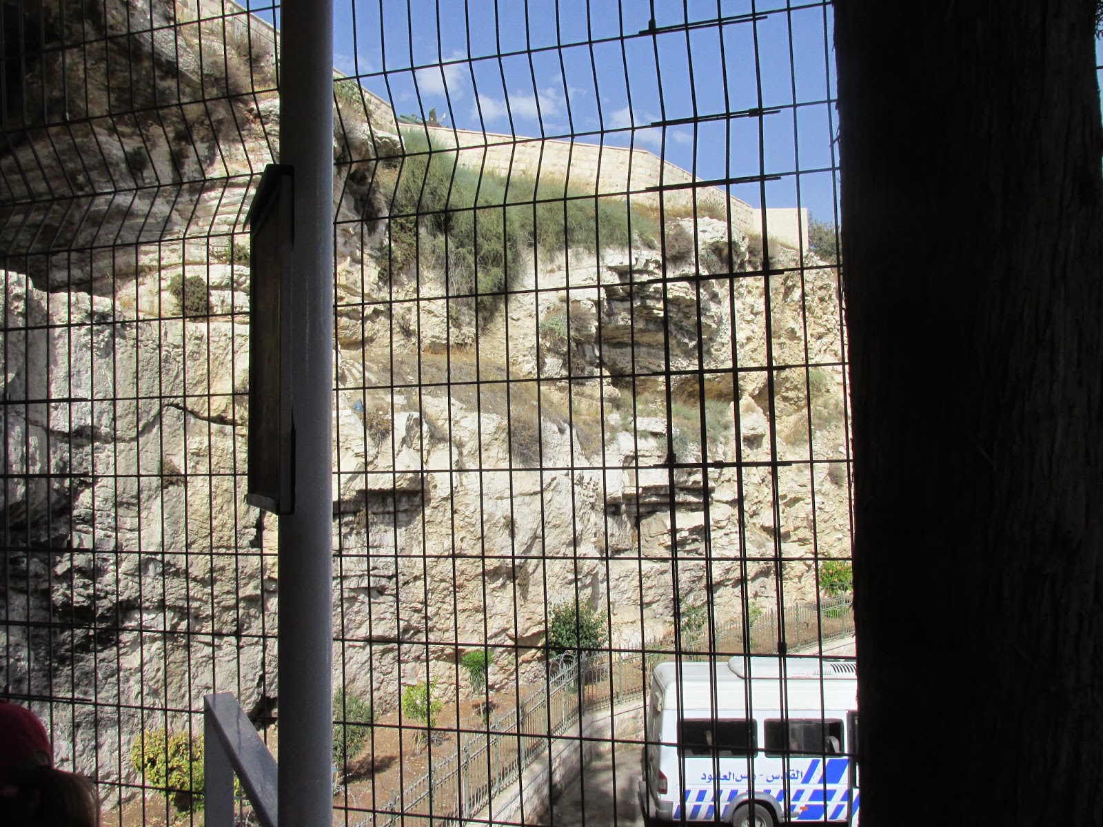
            Tel Jericho was the next stop!  According to the tile on the fountain that’s right at the entrance, Jericho is the oldest and lowest city in the world!  Benj said that it is the lowest city in the world, and that the city is from the pre-pottery Neolithic period!  We were able to see some of the layers that were revealed as archaeologists have dug down, which had storage pottery in it and a dark, burnt layer.  It’s so cool to see archaeological evidence that correlates to the Biblical story in Joshua 6!  Before we left, we stopped at the spring that Elisha purified.


The fortifications of Jericho


Excavations of the city...in upper right (sort of!), there's a dark gray layer of ash!


Cooling off in Elisha's spring.


   We then went to New Testament Jericho, where Herod the Great had a palace.  Between tel Jericho and the new Jericho is where Jesus healed a blind man as told in Matthew 20 and Luke 18.  

Herod the Great's palace in the new Jericho

   The last stop of the day was overlooking the Judean Wilderness.  This is where Jesus was tempted and is the location that Isaiah 40:3-6 describes.  The 'voice' that would cry in this wilderness was John the Baptist.  

The Judean Wilderness!


And that was the end of our Benjamin tour!


Friday, September 26, 2014

Last Field Study of Jerusalem!

   Last Wednesday was our last field study in Jerusalem!  The first place that we headed was the Temple Mount.  Before we go to the Dome of the Rock, we talked about the different courtyards that would have been in the temple complex.  As we were standing in front of the Dome of the Rock, we got oriented to what it would have looked like in Jesus’ day.  Where we were standing, just east of the Dome, was where the sacrificial altar would have been.  Solomon’s Portico, which is talked about in John 10, is still on the eastern edge! Looking beyond Solomon’s Portico, we saw the Mount of Olives.
Dome of the Rock.

Solomon's Portico, and beyond that..the Mount of Olives!


       The Al-Aqsa mosque and the Dome of the Rock (just a shrine!) were built in 690, and the mosque was rebuilt in 1930 after an earthquake that caused it to fall.  The mosque is also the third most holy Muslim site.  There’s an indentation in the Dome of the Rock that could be where the Ark of the Covenant was in the actual temple!  Of course we couldn't go inside to see it though!  
            From the Temple Mount, we went to the Davidson Center.  We walked above an aqueduct that Herod the Great built, and would enable people to walk from the priest’s houses to the temple.  While we were at the center, we watched a video about sacrifices at the temple.
            Going outside the Temple Mount, we saw where the Robinson’s arch was.  We then walked around and sat on the Southern Steps while we read from Matthew 23 and 24.  We also had time to see some excavations just down from the Temple Mount that are possibly from Solomon’s time. 

Where Robinson's Arch was.  When Romans destroyed Jerusalem, they also took the keystone out of the arch, which caused it to collapse.  That crater in the road is where it fell!

The Southern Steps where Jesus stood...no big deal. :)

Excavations of the fortifications of the city in Solomon's day.

   From here we went to the Herodian Quarter where the remains of priestly houses are.  We saw the Burnt House and other excavations of priestly houses where we can see how there was a private, public, and courtyard section (similar to where Jesus was tried in Luke 22).  We could also see a dining room that is like the dining room talked about in John 2.  
Priestly dining room.
           
   The Garden tomb, or Gordon’s Calvary, was the next stop.  This is the location where Protestants will claim that Jesus was buried and resurrected.  

Golgotha, or Hill of the Skull
            
The Garden Tomb.

   The only appointment we had after the Garden tomb was walking under the Western Wall tunnels.  It’s a tunnel that runs along the western wall of the Temple Mount and is full of architecture from the time of Herod the Great.  We saw a stone in the Temple Mount wall that was about 600 tons!  There are cisterns and meeting halls along the way, as well as the entrances to Robinson’s, Wilson’s, and Warren’s Gate (entrances to the Temple).  After coming out from the tunnel, we exited the city from Dung Gate and headed back to the moshav!

Sunday, September 14, 2014

Israel Museum and Mount of Olives!

   On the trip to Jerusalem last Wednesday, we first stopped in New Jerusalem at the Israel Museum.  One of my teachers, Benj, gave us a ‘tour’ of an outdoor model of the city of Jerusalem as it looked on the eve of the first Jewish Revolt (ca 66 AD).  The northern suburb of the model is the artists’ impressions of what it might have looked like.  A lot of information that is used to place the rest of the buildings in the model came from the writings of Josephus.  We learned about the three different walls of the city, the three different towers that Herod built, the entrances to the Temple, and the priestly district.  From the model, we went to an indoor portion of the museum that has an exhibition of the Dead Sea Scrolls. 

View of the model of Jerusalem as if I was standing on the Mount of Olives

When I took this picture, I was just really hot and wanted to take a dunk in the water...later I learned that it's actually the top of the Dead Sea Scroll exhibit underneath the ground!  

   We went from the Israel Museum to the Mount of Olives, near the Augusta Victoria tower.  We were able to see the Dead Sea, the village of Bethany (modern town name- al Azaria), and Bethphage.  Since Bethany is where Jesus performed the miracle of raising Lazarus from the dead, we read the account in John 11. 

View of Bethany and Bethphage from the Mount of Olives

View of the Dead Sea from the Mount of Olives!


            We then headed from the top of the Mount of Olives down to meet our bus.  On the way, we stopped at the Church of the Dominus Flevit, which means the Church where the Lord wept.  We read Matthew 25 here.  The next stop was at the Garden of Gethsemane and the Church of All Nations.  Inside the church is a stone where people believe the sweat and blood from Jesus’ forehead dropped.  Farther down the Mount of Olives is the Gethsemane Grotto and the tomb where Mary was laid before her soul went to heaven (supposedly).  

Garden of Gethsemane, but not the one that Jesus would have been in!  

Inside the Church of Dominus Flevit at the stone where people believe the blood from Jesus' forehead dripped.

Gethsemane Grotto

Me not knowing how to use my camera in Mary's tomb haha


Mary's tomb...a little bit better :)

From there, we finished walking down the mount to meet our bus driver and head back to the moshav!